
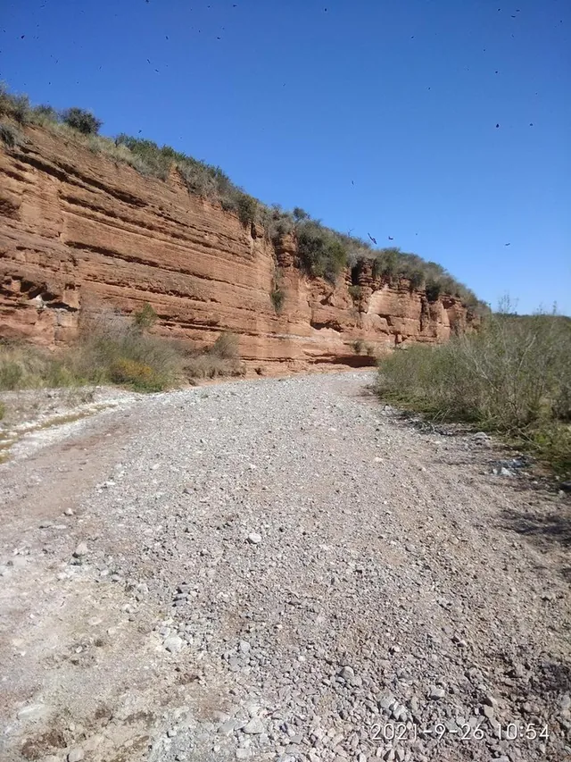
About this route
What to expect on Quebrada del Copacabana
Hiking route of 17.75 km with 144 m of total elevation gain, rated moderate by the person who uploaded it. The full track, with the step-by-step route and the author's photos, is on Wikiloc.
Estimate based on Naismith's rule (4.5 km/h plus 10 min per 100 m of climb). Allow extra for breaks and photos.
This track was uploaded by a Wikiloc user, not by this guide. Conditions change with rain, wind and season: check the state of the trail and entry times before setting off. At night, only with a licensed guide.
The basics for doing it right
- Water: 2 to 3 litres per person.
- Start early; storms arrive in the afternoon.
- Offline map downloaded: signal is patchy.
- Uritorco: you must start descending by 3 pm.
- Leave no rubbish. No fires, all year round.
Trailhead
Where it starts
The marker shows the start of the track. Arrive with the offline map downloaded: signal comes and goes in the mountains.
Similar
Other moderate trails
Moderate
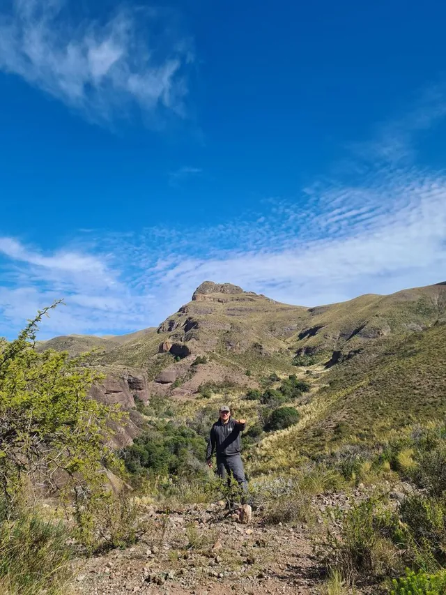
Cerro Colchiqui o Charalqueta (1575 m) + Valle de Ongamira
Desde Establecimiento el Cerro
6.76 km421 m2 h 12
Moderate
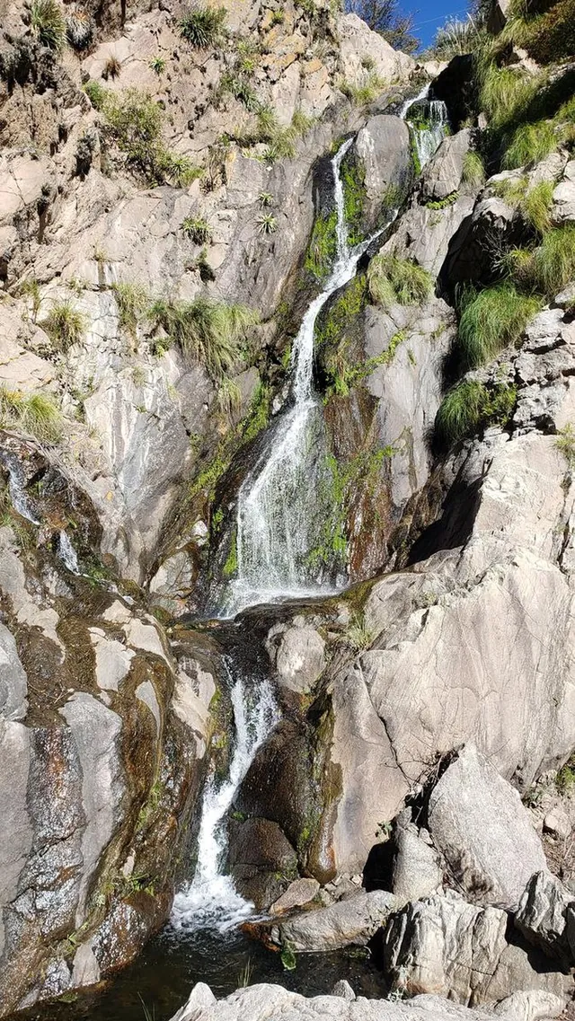
Cascada De Los 70 Pies + Dique de los Laureles + Arroyo Cruz Grande
Desde La Cumbre
9.83 km425 m2 h 54
Moderate
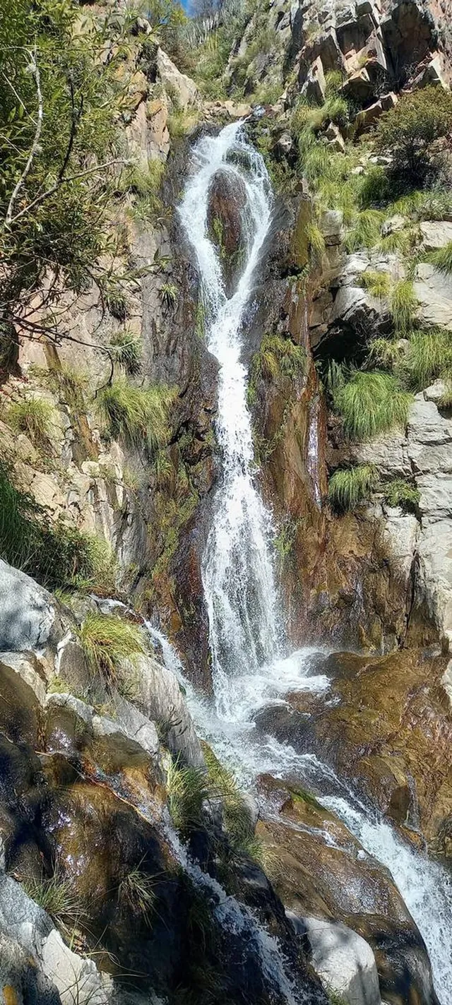
Cascada de los 70 pies
Cruz Chica
12 km357 m3 h 16
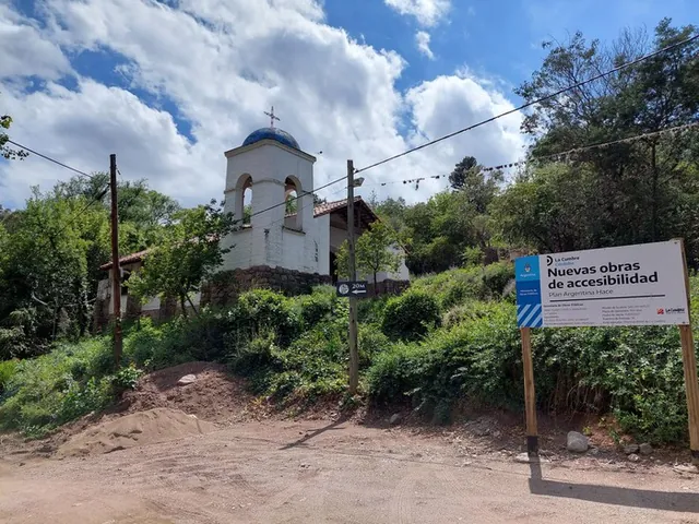
ModerateMountain biking
La Cumbre a las antenas 2-12-2021
La Cumbre
30.93 km723 m8 h 05
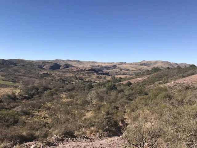
Moderate
Cerró Colchiquin Ongamira
Ongamira
6.64 km328 m2 h 01
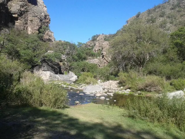
Moderate
San marcos sierra por la quebrada
San Marcos Sierra
6.78 km220 m1 h 52