
What to do in Capilla del Monte
27 places, each with the real distance from downtown, how long it takes, how to get there and what to expect. Sorted by what you are after: peaks, water, history or with kids.
 Must-see
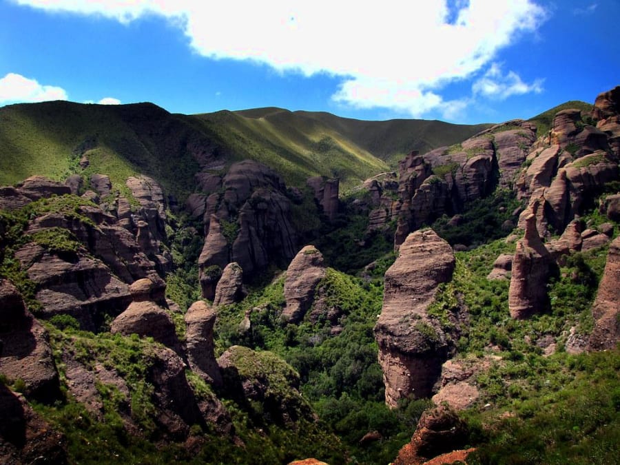
Los Terrones
Unique rock formations in Quebrada de la Luna, 14 km from Capilla
 Must-see
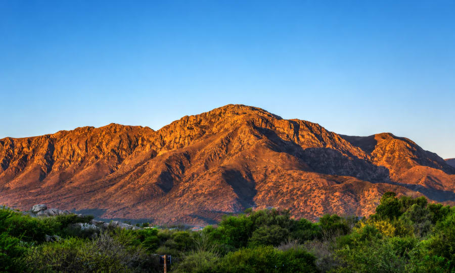
Uritorco
The highest hill of the Sierras Chicas (1980 m)
 Must-see
Ongamira
Caves with rock paintings 8,000 years old
 Must-see
Agua de los Palos
Natural mountain pool with restaurant
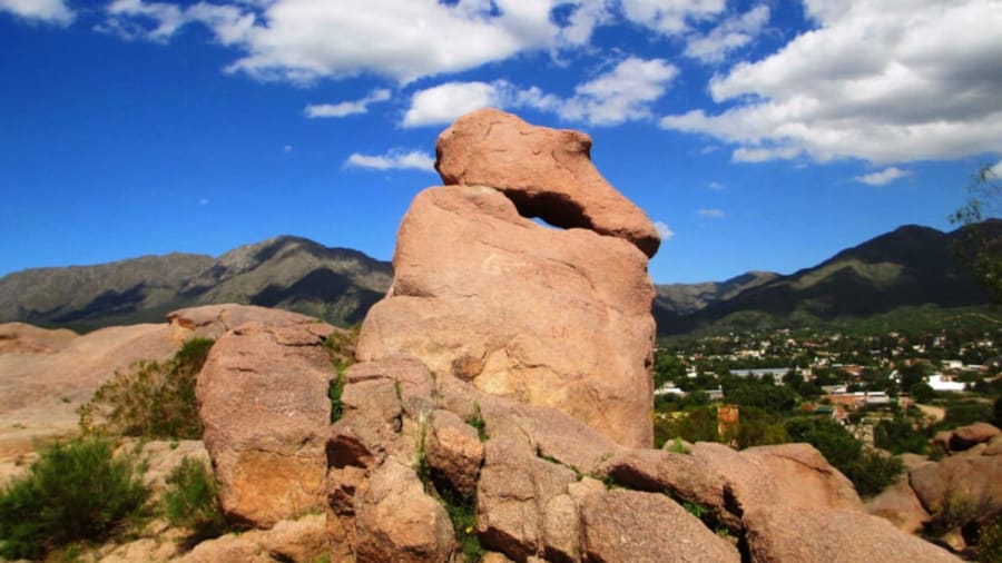
El Zapato
Private natural reserve with a giant shoe-shaped rock formation

El Cajón
Reservoir surrounded by mountains

Paso del Indio
Imposing geological formation

La Techada
The first covered street in Ibero-America (1964)

Los Paredones
Rounded granite formations at the confluence of the Dolores and Calabalumba rivers

La Toma
Private bathing complex on the Calabalumba River, at the foot of Uritorco

Pueblo Encanto
Recreation of a pre-Hispanic settlement

Castillo del Cómic
Argentina's first comic museum, in a 1905 mansion
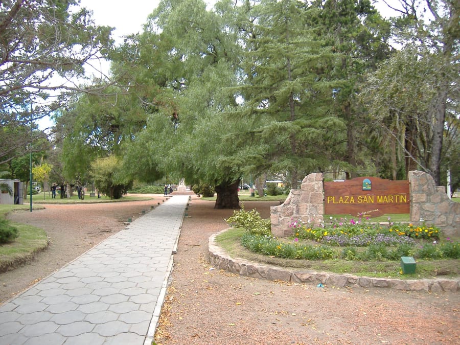
Plaza Central
The heart of Capilla
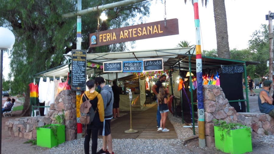
Feria del Uritorco
Local artisan fair at the foot of Uritorco
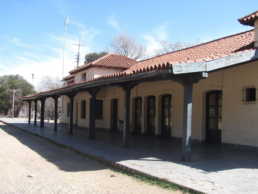
Antigua Estación del Ferrocarril
The Tren de las Sierras station, now a tourist information point
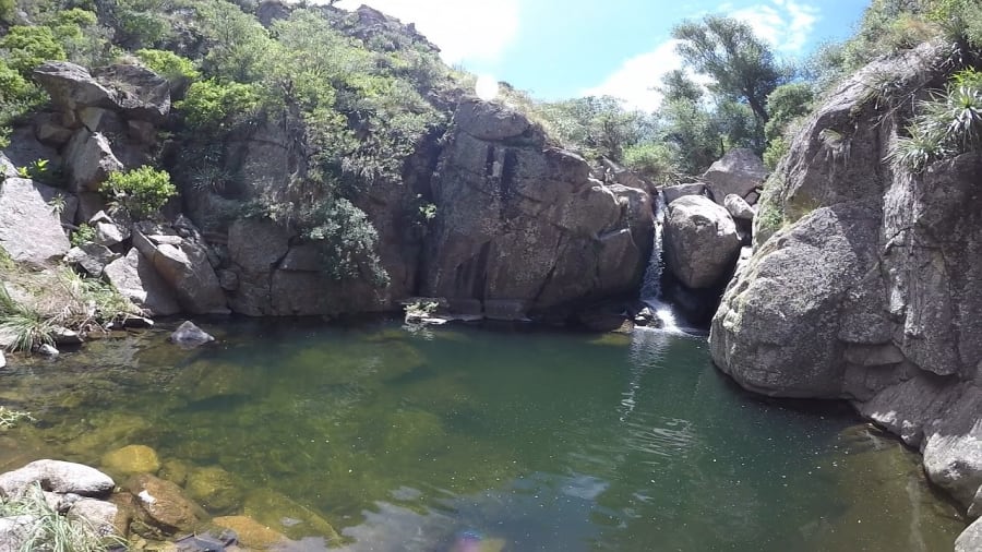
Cascada Las Golondrinas
Waterfall hidden in the Huertas Malas area
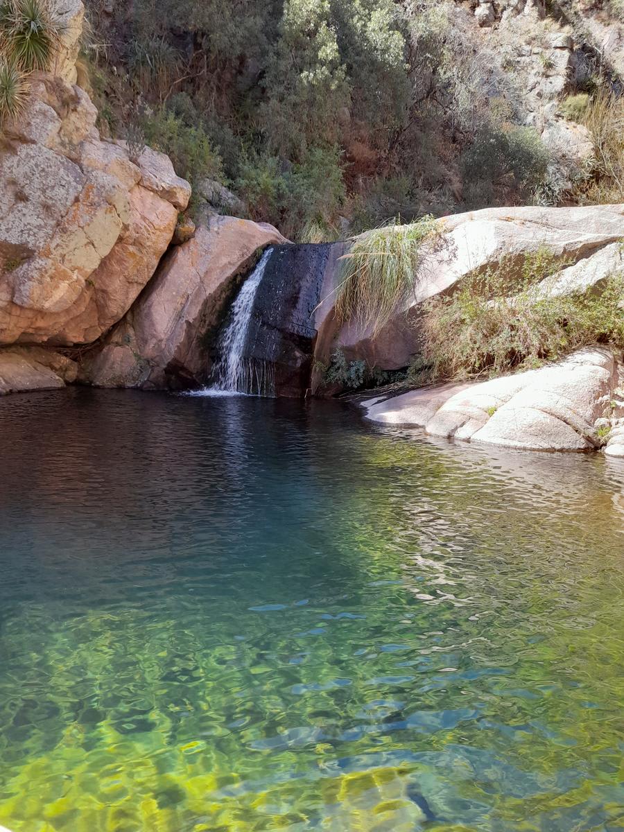
Cascadas del Arroyo del Plata
Waterfalls and crystal-clear pools in Arroyo del Plata
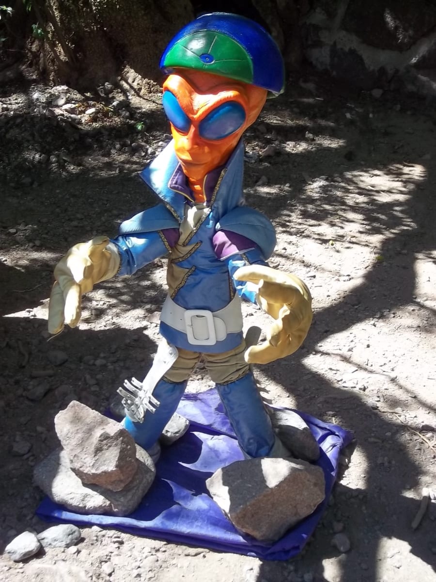
Centro de Informes OVNI
The epicenter of UFO tourism in Capilla
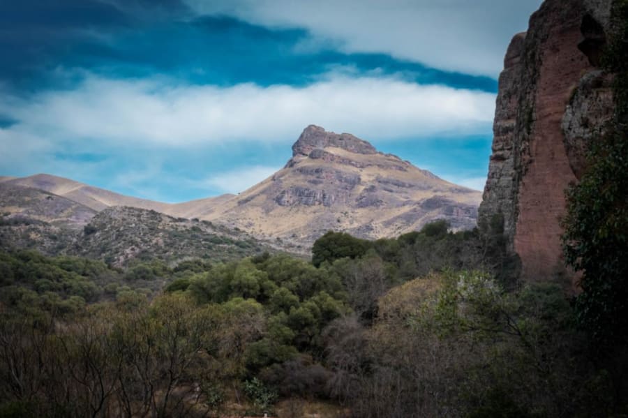
Cerro Colchiquí
Cerro de Ongamira con formaciones rojizas
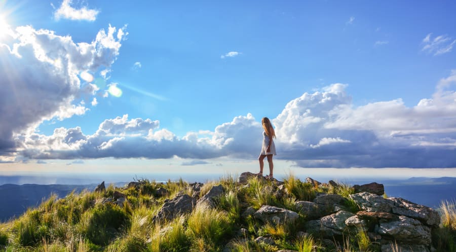
Cerro Las Gemelas
Two twin peaks of the Sierras Chicas
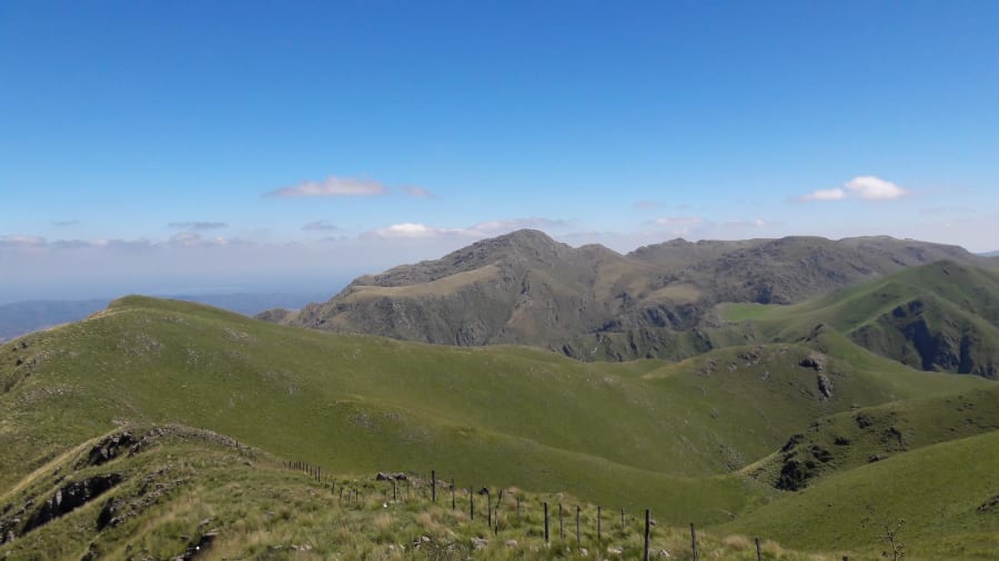
Cerro Overo
Summit at 1,886 m with one of the best panoramic views in the region
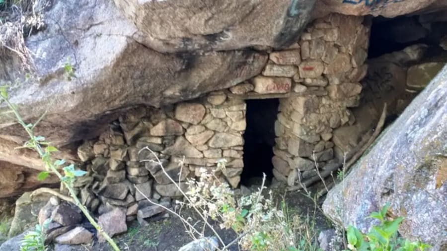
Cueva del Ermitaño
Natural refuge on the Huertas Malas circuit
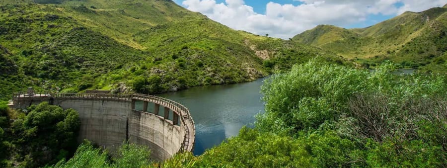
Dique Los Alazanes
The mountain reservoir at the foot of Uritorco
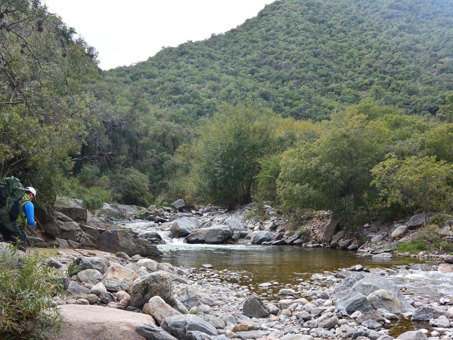
Huertas Malas
The alternative route to Uritorco, with waterfalls, the Cueva del Ermitaño and streams
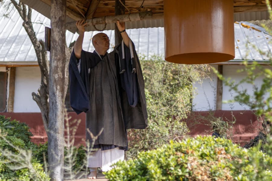
Monasterio Budista Zen
Meditation temple among palm trees, on the slope of Uritorco
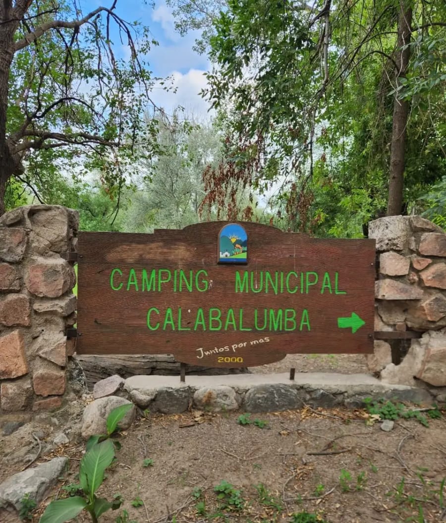
Parque Camping Municipal
10 hectares on the banks of the Calabalumba River
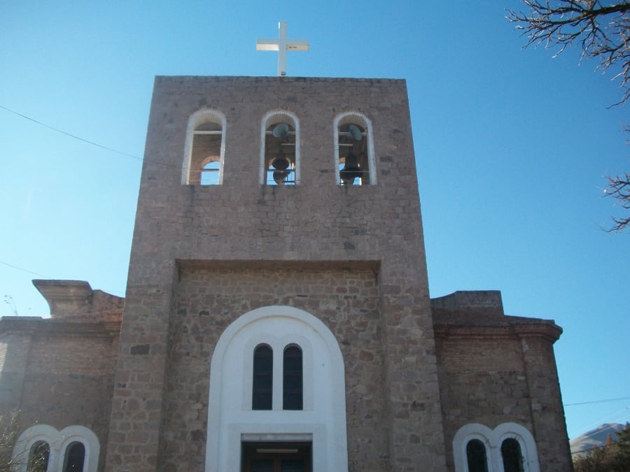
Parroquia San Antonio de Padua
The church in the center, origin of the town's name
Hills and hikes
What most people come for. Some climbs take an hour, others a whole day — check the duration and difficulty before setting out.
- Los Terrones — Unique rock formations in Quebrada de la Luna, 14 km from Capilla.14 km from the centre · 2-3 hours · Easy
- Uritorco — The highest hill of the Sierras Chicas (1980 m).3 km from the centre · 6-7 hours round trip · Moderate
- Paso del Indio — Imposing geological formation.4 km from the centre · The Paso del Indio trail takes 15 to 20 minutes · Moderate
- Cascada Las Golondrinas — Waterfall hidden in the Huertas Malas area.4.5 km from the centre · Full day: about 7 hours round trip · Moderate
- Cascadas del Arroyo del Plata — Waterfalls and crystal-clear pools in Arroyo del Plata.4.5 km from the centre · Moderate
- Cerro Colchiquí — Cerro de Ongamira con formaciones rojizas.25 km from the centre · Aproximadamente 4 horas entre ida y vuelta · Moderate
Rivers and swimming spots
In summer these are the afternoon plan. Most are free to enter and sit a few kilometres from the centre.
- Agua de los Palos — Natural mountain pool with restaurant.7 km from the centre · Half a day to a full day · Easy
- El Cajón — Reservoir surrounded by mountains.3 km from the centre · Half a day to a full day · Easy
- Los Paredones — Rounded granite formations at the confluence of the Dolores and Calabalumba rivers.6.5 km from the centre · Half a day or a full day · Easy
- La Toma — Private bathing complex on the Calabalumba River, at the foot of Uritorco.4.5 km from the centre · Half a day to a full day · Easy
- Cascada Las Golondrinas — Waterfall hidden in the Huertas Malas area.4.5 km from the centre · Full day: about 7 hours round trip · Moderate
- Cascadas del Arroyo del Plata — Waterfalls and crystal-clear pools in Arroyo del Plata.4.5 km from the centre · Moderate
The mystic side
Capilla is famous for this, and you don't need to believe in any of it to enjoy the walk: these are the places people come to watch the sky and slow down.
- Uritorco — The highest hill of the Sierras Chicas (1980 m).3 km from the centre · 6-7 hours round trip · Moderate
- Centro de Informes OVNI — The epicenter of UFO tourism in Capilla.In the centre · 45 minutes to 1 hour · Easy
- Monasterio Budista Zen — Meditation temple among palm trees, on the slope of Uritorco.5 km from the centre · 1 to 2 hours for a visit · Easy
History and culture
Rock paintings, museums and Comechingón sites. These hold up best on a grey day.
- Ongamira — Caves with rock paintings 8,000 years old.25 km from the centre · Between 1 and 3 hours depending on the route chosen · Easy
- La Techada — The first covered street in Ibero-America (1964).In the centre · Easy
- Pueblo Encanto — Recreation of a pre-Hispanic settlement.1 km from the centre · 2 to 3 hours · Easy
- Castillo del Cómic — Argentina's first comic museum, in a 1905 mansion.0.5 km from the centre · 1 to 2 hours · Easy
- Plaza Central — The heart of Capilla.In the centre · 30 min to 1 hour · Easy
- Antigua Estación del Ferrocarril — The Tren de las Sierras station, now a tourist information point.0.8 km from the centre · 30 to 45 minutes to tour the station and take photos · Easy
With kids
Short walks, shade and food nearby. Nobody ends up being carried home from these.
- Los Terrones — Unique rock formations in Quebrada de la Luna, 14 km from Capilla.14 km from the centre · 2-3 hours · Easy
- El Zapato — Private natural reserve with a giant shoe-shaped rock formation.1 km from the centre · 30 to 45 minutes to tour and take photos · Easy
- Agua de los Palos — Natural mountain pool with restaurant.7 km from the centre · Half a day to a full day · Easy
- El Cajón — Reservoir surrounded by mountains.3 km from the centre · Half a day to a full day · Easy
- La Techada — The first covered street in Ibero-America (1964).In the centre · Easy
- Los Paredones — Rounded granite formations at the confluence of the Dolores and Calabalumba rivers.6.5 km from the centre · Half a day or a full day · Easy
What people always ask us
- How many days do I need?
- Two full days cover Uritorco plus one or two other spots. Over a long weekend you can add the rivers and Ongamira without rushing. We put together a two-day itinerary with real times.
- How much does climbing Cerro Uritorco cost?
- General admission is ARS 50,000 per person. We refresh the price and the last-entry time every week on what it costs to climb.
- What if it rains?
- The hills close in the rain, but the town doesn't. Museums, the Zen temple, crafts and food stay open — we gathered them in what to do when it rains.
- Can I do it without a car?
- Yes, though it limits you. The centre, the Zen temple and La Toma are walkable or a short ride; Ongamira and Los Terrones are over 14 km out and are better by tour or taxi. Every listing shows the real distance from the centre, and getting here covers the options.
- When is the best time to come?
- Autumn and spring: mild walking weather and fewer people than January. Summer is for the rivers, and it's worth starting early. In winter the sky is the clearest of the year.