
Walk the sierras
42 routes from the Wikiloc community, sorted by popularity, with distance, elevation gain and difficulty. From riverside strolls to the summit of Uritorco.
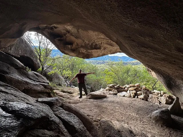
Trekking Río Quilpo
Casa de Piedra · Morteros Comechingones y Parideras · San Marcos Sierra
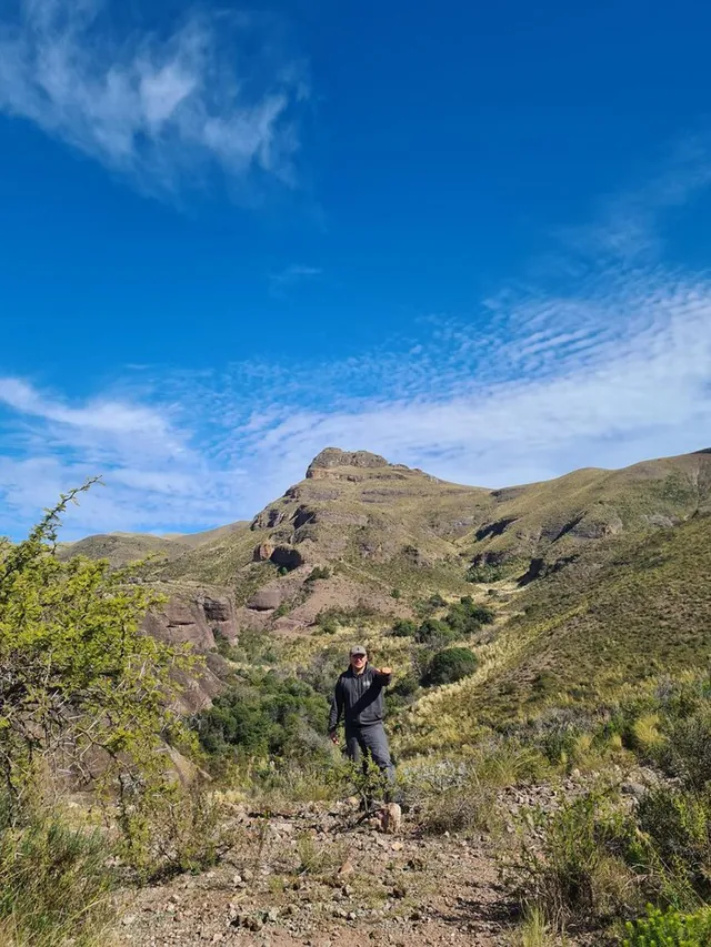
Cerro Colchiqui o Charalqueta (1575 m) + Valle de Ongamira
Desde Establecimiento el Cerro
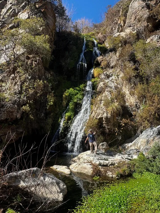
Cascada de Cuchi Corral EXTREMA
Barranquismo desde el Mirador (La Cumbre)
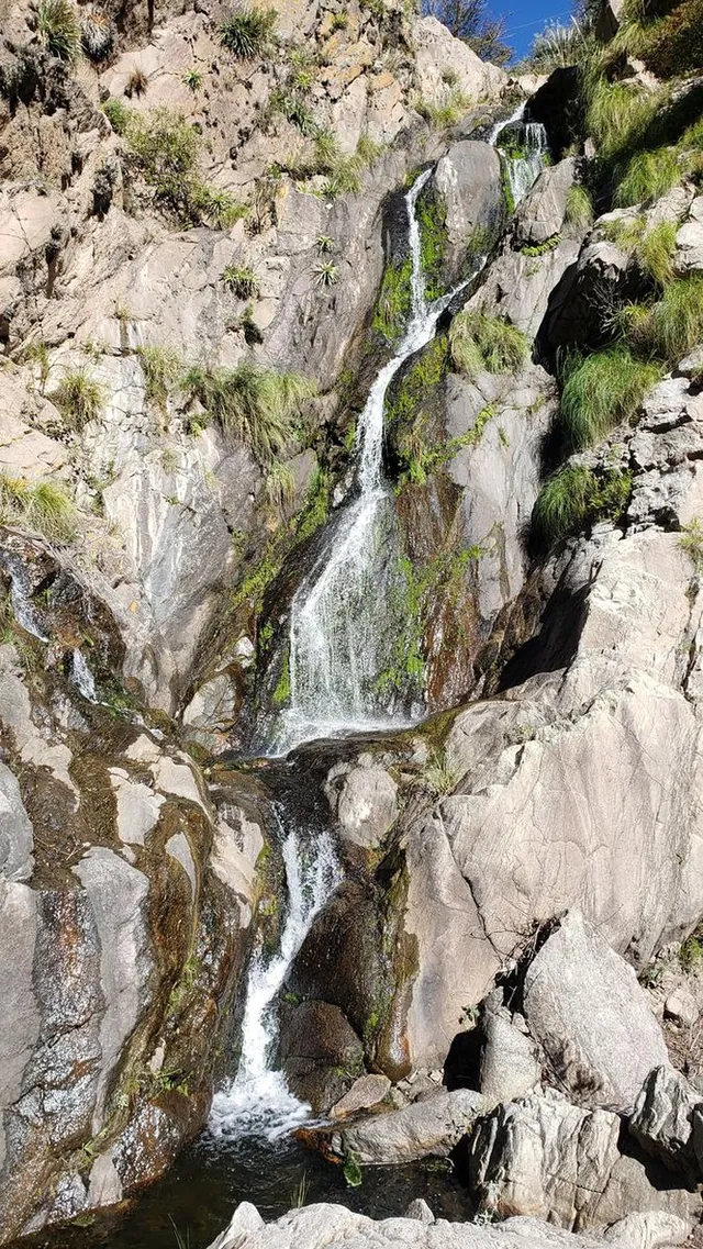
Cascada De Los 70 Pies + Dique de los Laureles + Arroyo Cruz Grande
Desde La Cumbre
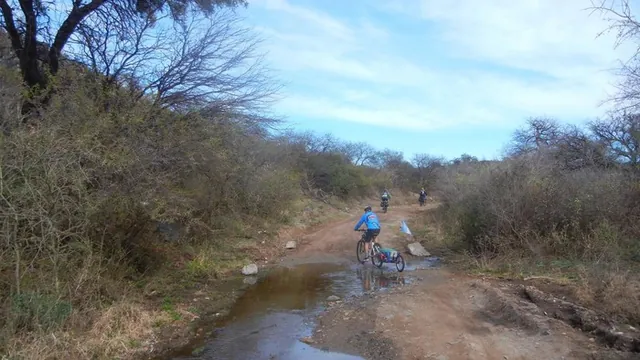
San Marcos Sierras
La Cumbre · Ascochinga · Ongamira
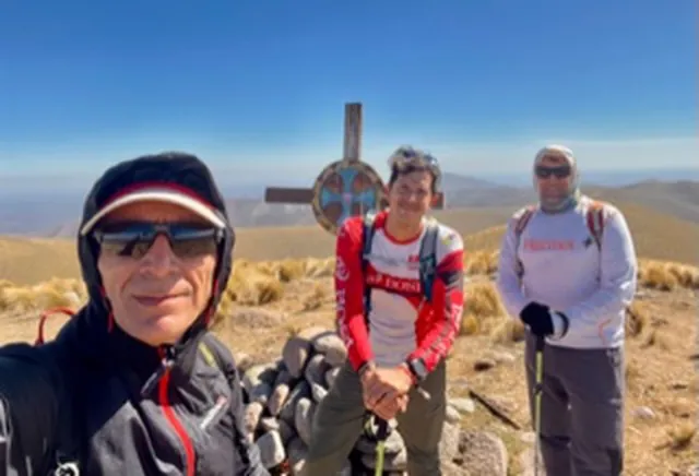
Cerro Pajarillo, Ongamira
Ongamira
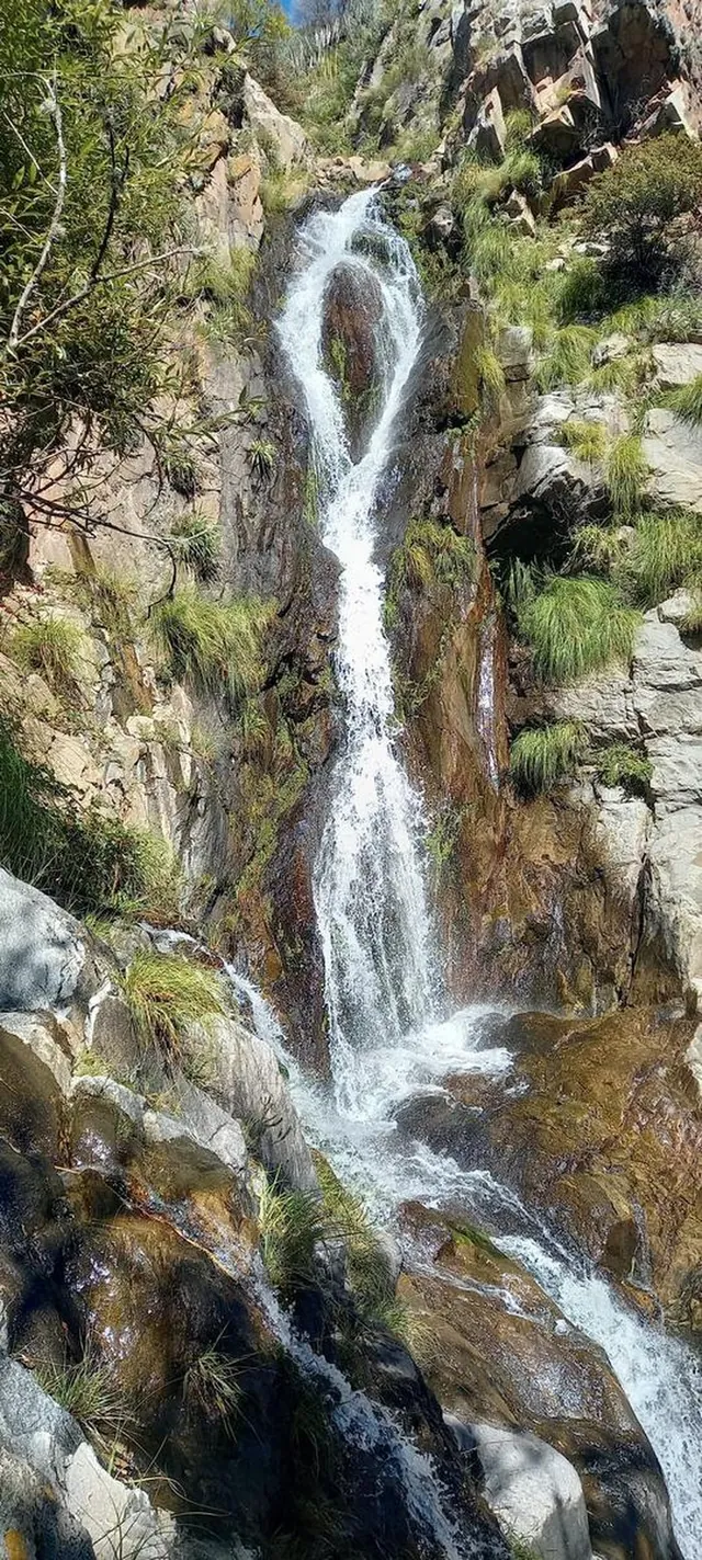
Cascada de los 70 pies
Cruz Chica
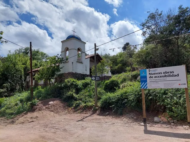
La Cumbre a las antenas 2-12-2021
La Cumbre
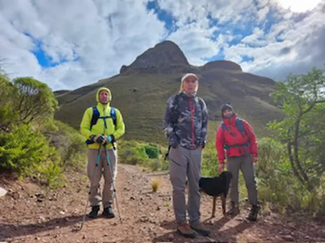
Cerro Colchiquí y Cerro Calchequín
Ongamira
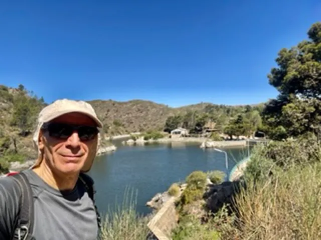
La Cumbre
Cristo Redentor a Dique San Geronimo
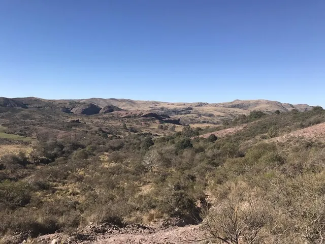
Cerró Colchiquin Ongamira
Ongamira
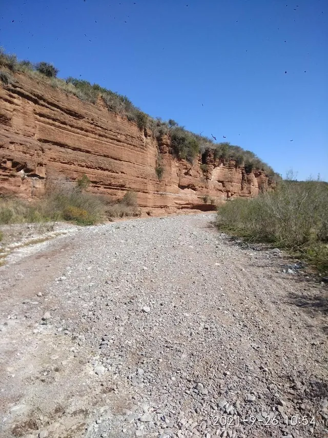
Quebrada del Copacabana
Ongamira
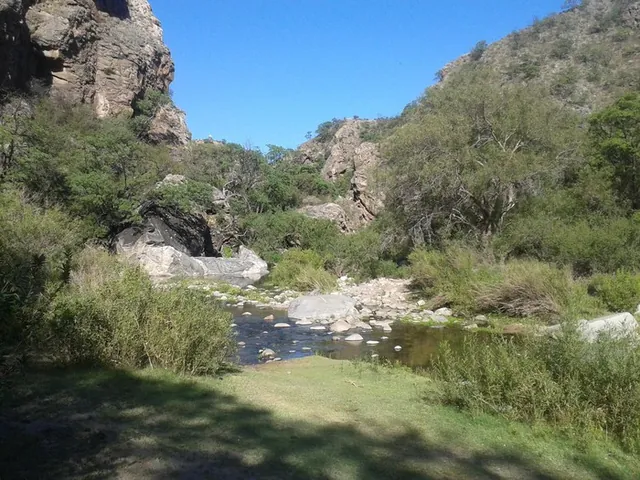
San marcos sierra por la quebrada
San Marcos Sierra
Six things that are non-negotiable in the sierras
Water: 2 to 3 litres per person
There is nowhere to refill on the mountain and the sun is strong even in winter.
Start early
Summer storms roll in during the afternoon. The earlier you start, the more margin you have.
Patchy signal
Download the offline map before leaving (Wikiloc, Maps.me or OsmAnd) and tell someone your plan.
Uritorco: you must start descending by 3 pm
Entry closes at 11 am in summer and 10 am in winter; everyone has to be on the way down by 3 pm.
Whatever goes up comes down with you
Leave no rubbish, not even organic. There are no bins in the hills and the wildlife does not need it.
No fires
All year round, across the whole area. A bush fire takes decades to recover.
Tracks are uploaded by Wikiloc users, not by this guide. Always check conditions and entry times, and if you go at night, only do it with a licensed guide. See licensed guides →
Not sure which one to pick?
Tell URI how much time you have and how fit you feel, and it will recommend one on WhatsApp.